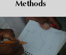
Our methodology employs
(1) archival research, (2) traditional
field research, and (3) participatory research data collection
methods. The three approaches worked well together and no single
one would have given as complete a picture as the combined
view.
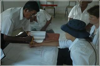
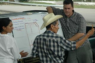
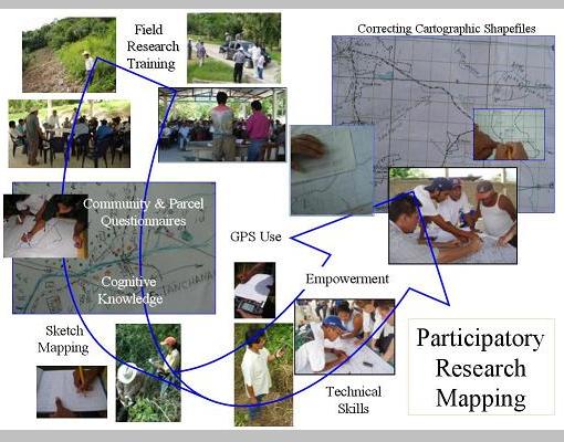
Truly participatory research mapping is
initiated without completely preconceived research objectives.
Local investigators, chosen by the communities, are trained
by the researcher in geographic data gathering techniques. |
Cognitive mental
(individual) maps are converted to consensual (community)
maps, including only features whose nature, name, and coordinates
have been verified. These are then converted to standardized maps,
which the communities may choose to use educational, political,
legal, or other, unexpected purposes. Participatory maps of
resource-use areas, for example, have been used successfully
for indigenous territorial claims in Panama (Herlihy 2003)
and elsewhere.
|